Remote Sensing of Evapotranspiration
Remote Sensing of Evapotranspiration
February 10th, 2016
8:30am - 3:30pm
UC Davis Conference Center (Ballroom B&C) (Map)
About Workshop
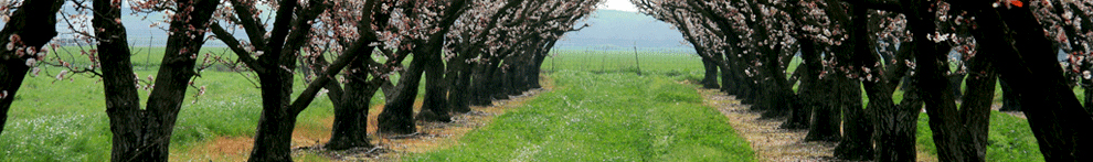
The purpose of this workshop is to review the state of the art in parcel-level evapotranspiration (ET) estimation across all agricultural and urban lands in California. Evapotranspiration from managed lands is the largest consumptive water use in California. With the new Sustainable Groundwater Management Act (SGMA), a better assessment of ET, on a continuous basis, will be a critical element of many Groundwater Sustainability Plans. Is remote sensing the answer to estimating consumptive use, especially in agricultural areas of the state?
The objective of this one-day UC Davis workshop is to bring together experts in the field of ET remote sensing and monitoring with those that are most likely to use such data in the SGMA world; share successful case studies; increase awareness and momentum among SGMA stakeholders about the roles of remote sensing in meeting potential future monitoring needs, and discuss opportunities and barriers for consumptive water use estimation using remote sensing tools. We expect a lively exchange of ideas, hopefully leading to a shared vision for future cost-effective consumptive water use monitoring.
Who should attend?
The intended audience for the workshop includes the groundwater management groups from DWR and SWRCB, managers and technical personnel from future local groundwater sustainability agencies, consultants, researchers, and other interested parties.
Registration (Available until February 10th)
Fee: $40 (Refreshments and lunch)
Register here as soon as possible.
Co-Sponsor

Additional Information
Contact Prof. Yufang Jin (yujin@ucdavis.edu; 530-219-4429).